

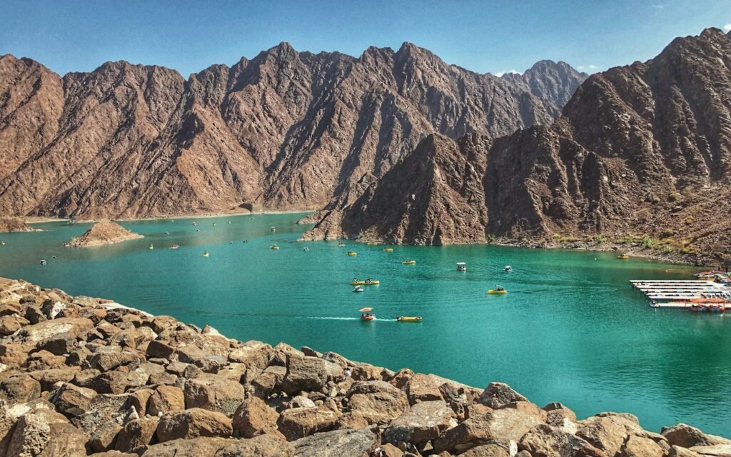
An hour and a half on the road, and the city has gone. In Hatta, Dubai’s enclave in the Hajar Mountains, the trails start behind the Hatta Wadi Hub car park, between ochre rocks and acacias.
The network has 32.6 km of marked paths, split into several loops. Each loop has a colour: green for beginners, blue for easy walkers, red for those with some stamina, black for serious climbs. Access is free, and the map can be downloaded from the Visit Hatta website.
When to go
October to April. In summer it is already too hot to walk even at 7am. The best light is late afternoon in winter, when the dam turns emerald green.
What else to do
Hatta Wadi Hub rents bikes for more than 50 km of mountain-bike trails. You can explore the dam by kayak, and the heritage village is worth the half hour you spend there. If you want more altitude, Jebel Jais in Ras Al Khaimah has its own trails.
What people forget
At least two litres of water per person, even for a short loop. Phone signal is patchy between the ridges, so tell someone where you are going. And if rain is forecast, stay out of the wadis, where water rises within minutes.
Hatta Wadi Hub opens every day in season. Information on +971 4 820 5555.
Sources: Visit Hatta, The National.
Filed under


